Featured
2707 Hillcrest Road, Horseshoe Bend, AR 72512
This property has been sold. Looks like you missed this one, though we have many other great deals available, don’t…
Sold
$1,750
Deals On Properties You Love | Owner Financing | No Credit | Easy Terms
Deals On Properties You Love | Owner Financing | No Credit | Easy Terms
Deals On Properties You Love | Owner Financing | No Credit | Easy Terms
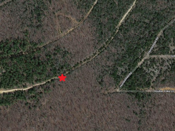
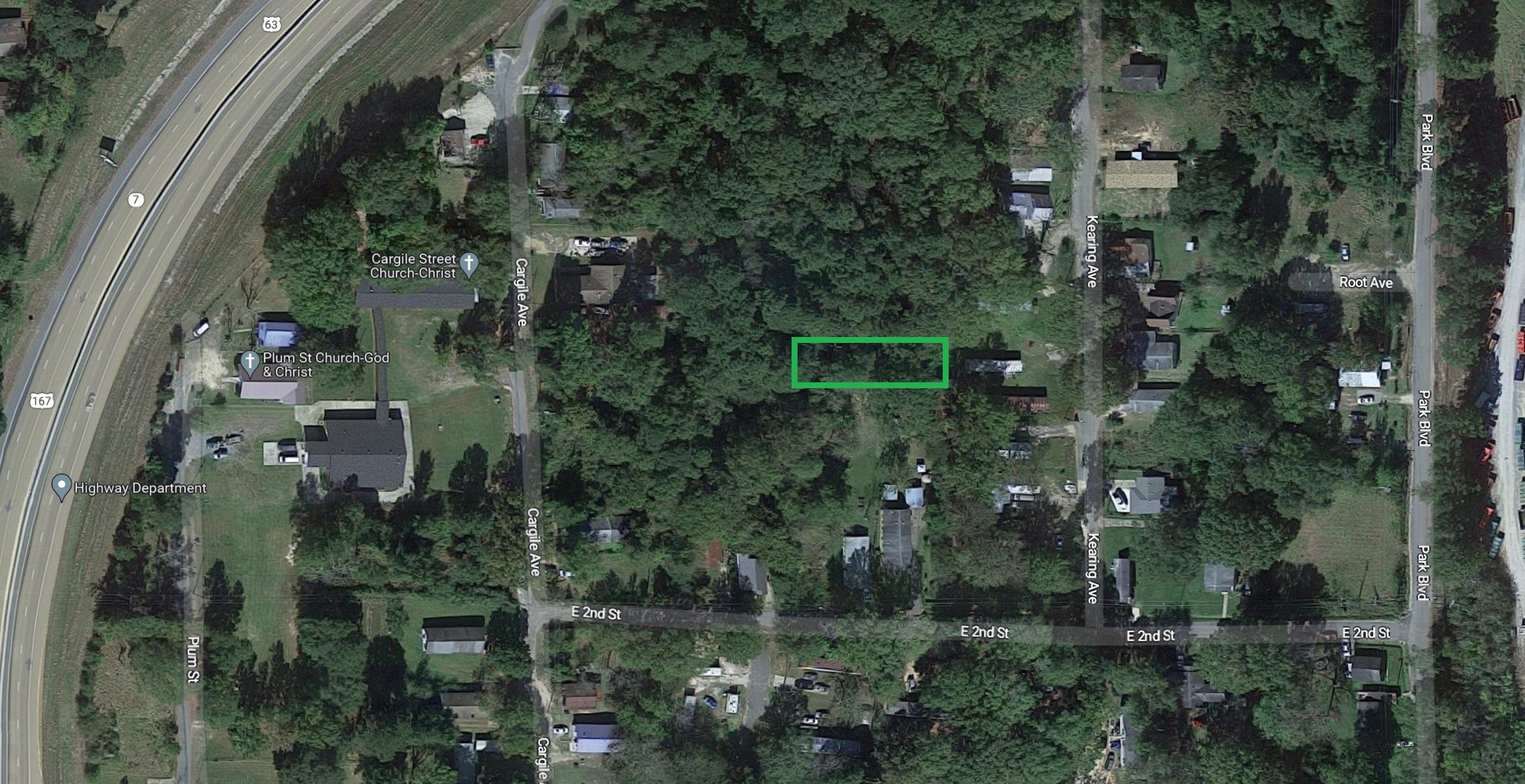
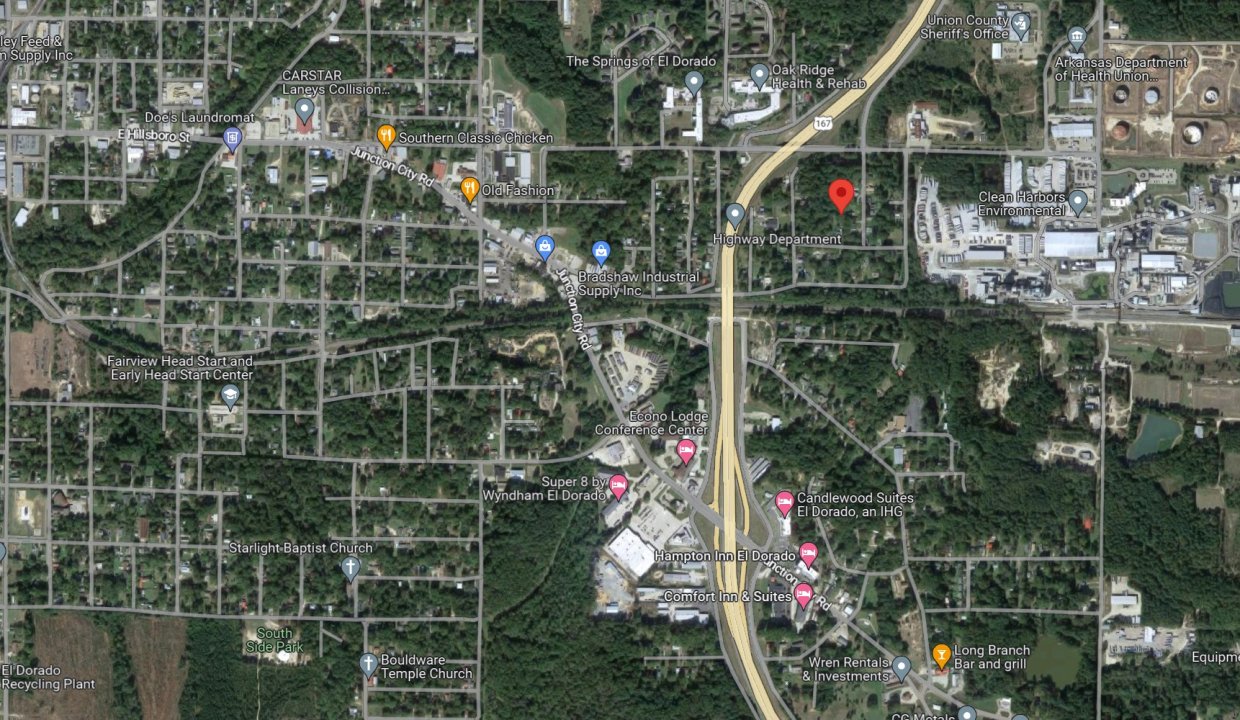
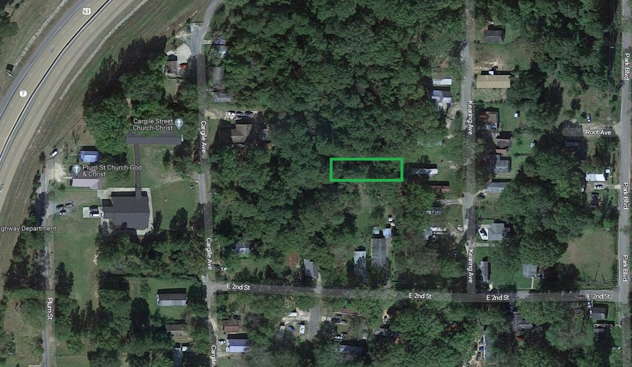
Kearing Ave, El Dorado, AR 71730, USA
Sold
$950

This property has been sold.
Looks like you missed this one, though we have many other great deals available, don’t let the next one get away!
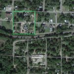
Parcel of land measuring 50×120 in El Dorado, Arkansas.
GPS Coordinates are 33.205533423647644, -92.63814558900503.
Property Address: 0 Kearing Avenue, El Dorado, AR 71730 (Map location is approximate)
County: Union
Assessor Parcel Number: 04794-00221-0000
Legal Description: Beginning at the Northwest Corner of The Northwest 1/4 of The Northeast 1/4, Thence South 241 Feet, East 440 Feet, South 300 Feet, West 10 Feet for The Point of Beginning. Thence West 120 Feet, North 50 Feet, East 120 Feet, South 50 Feet to The Point of Beginning.
Section: 34 Township: 17S Range: 15W
Zoning: Residential
Annual Property Taxes: $9.00
This property has been sold. This property has been sold. Looks like you missed this one, though we have many other great deals available, don’t…
$1,750

This property has been sold. Looks like you missed this one, though we have many other great deals available, don’t…
$1,500
This property has been sold. Looks like you missed this one, though we have many other great deals available, don’t…
$2,950
This property has been sold. Looks like you missed this one, though we have many other great deals available, don’t…
$625
 .11 Acres, E and B Street, El Dorado, AR 71730
Owning a home is a keystone of wealth… both financial affluence and emotional security.